Satellite
- Updates every 10 minutes
Power outages: Duke
National: Resource
Google
Maps Stats
Interactive
Map
Please check
time and date on all images when viewing them
Not
to be used for the
protection of life or property
wx_menu
radar_menu
satellite_menu
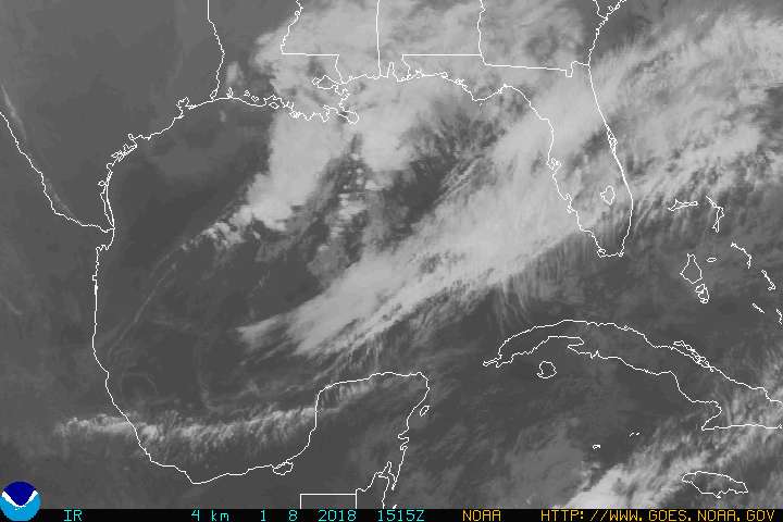
Gulf
of Mexico Click
image to animate (Flash) NHC
NRL
 :
:
wx_menu
radar_menu
satellite_menu
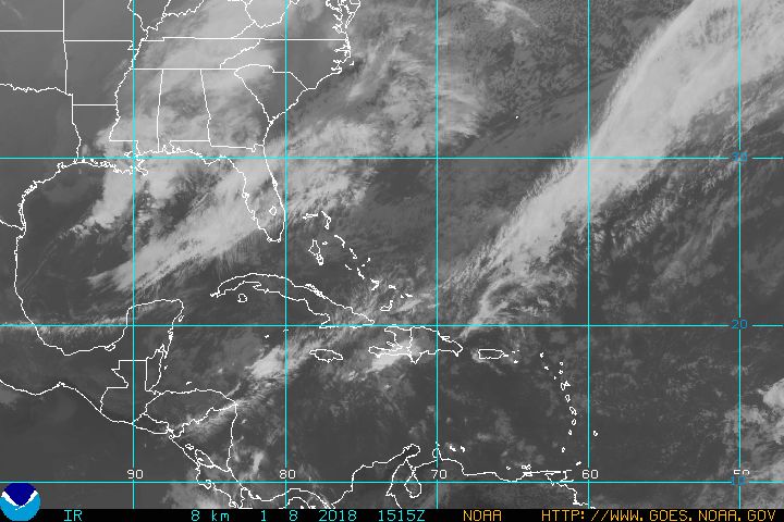
SW
Atlantic
Click
image to animate (Flash) NHC
NRL
 :
:
wx_menu
radar_menu
satellite_menu
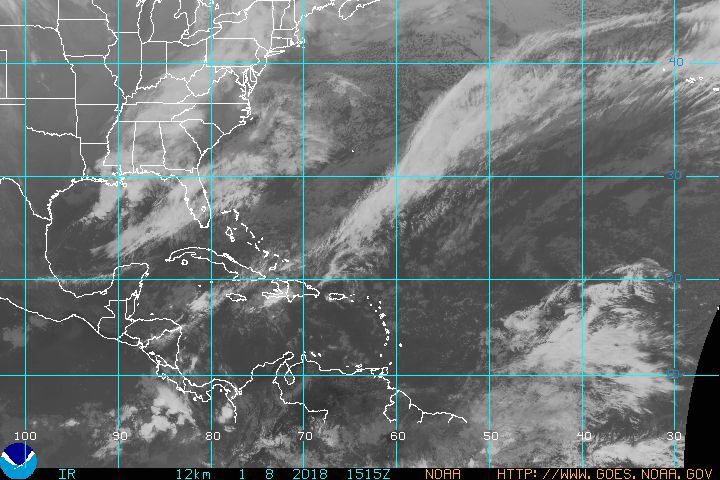
Tropical
Atlantic
Click to animate (Flash) NHC
NRL
 FULL Atlantic
wx_menu
radar_menu
satellite_menu
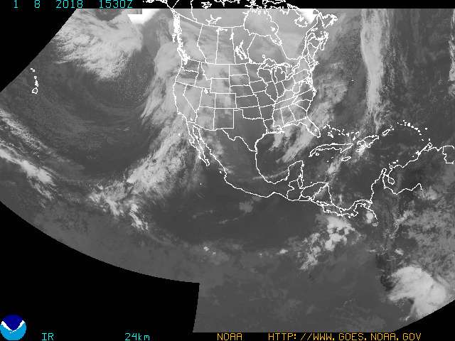
Full
Disc (still)/CONUS (animated)
Click to animate (Flash) NHC
NRL
wx_menu
radar_menu
satellite_menu
Caribbean
Click
image to animate (Flash) NHC NRL
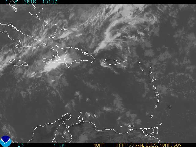 :
Fill
the gap in coverage (can be slow)
Full
FL
Storm-following
satellite
floaters
Full
NOAA GOES imagery.
Full
Atlantic
Two
day IR animation
wx_menu
radar_menu
satellite_menu
Click
image to animate

wx_menu
radar_menu
satellite_menu
menu
footer
©
2003-2026 Hintlink. All
rights reserved.
IP footer
User Agent:
Mozilla/5.0 AppleWebKit/537.36 (KHTML, like Gecko; compatible; ClaudeBot/1.0; +claudebot@anthropic.com) IP Address:
216.73.216.81
 Wx Radio
| Zones

 Wx Radio
| Zones

 Wx Radio
| Zones

 Wx Radio
| Zones

 Wx Radio
| Zones

 Wx Radio
| Zones


 Wx Radio
| Zones
